How Inca Postal Runners Delivered Their Emperor Fresh Fish From the Sea
posted on April 1st, 2014 in Archaeology, Peru, Recent Discoveries
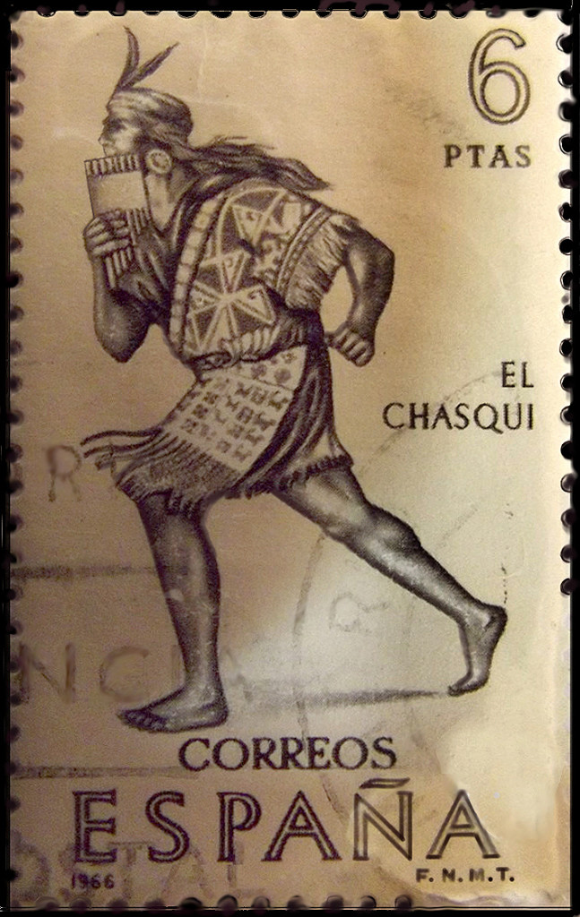
Inka Chasqui runner on Spanish postal stamp
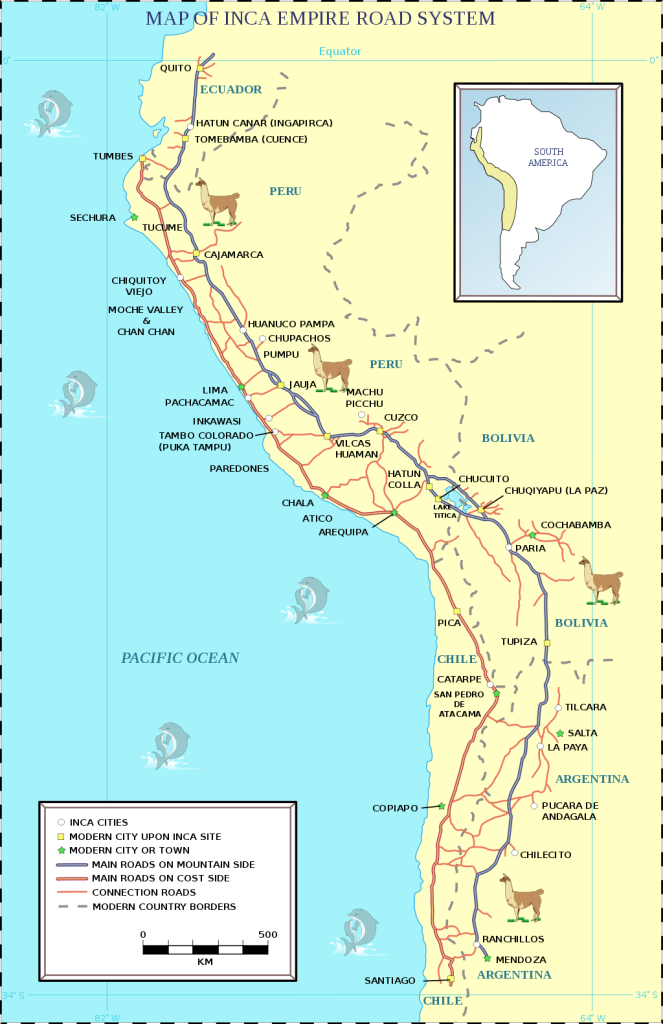
Note: the Incas built one of the greatest roadways in the world, called the Qhapaq Ñan, or “beautiful roadway.” It stretched for more than 2,500 miles in length, from Colombia to mid-Chile, covered more than 26,000 miles of roadway. A tiny stretch of that roadway, which ends at Machu Picchu, is what is now known as the “Inca Trail.” KM
Arequipa: Discovery of Inca Roadway Section
Perú21
March 6, 2014
Translated by Kim MacQuarrie
Early historians noted and were surprised to learn that the Inca [emperor] ate fresh fish, brought from the sea, to Cusco. How did it arrive, they wondered? Now the mystery has been solved with the discovery of about 22 kilometers of Inca roadway, located in the coastal area of the province of Caravelí in the Arequipa region. All indications are that [relay] runners used this route to fulfill that role.
The Kontisuyo Qhapac Nan route was about 400 kilometers long. That stretch links Cusco with the Atiquipa district in the province of Caravelí (Arequipa). And that roadway is currently more relevant than ever, said tourism specialist Rolly Valdivia to our Perú21 correspondent in Arequipa.
“Some sections are thousands of years old as Arequipa continued to play its role in integrating diverse village. Many of these still have no roads,” he stressed.
The design of Qhapac Nan, linking a total of six countries in Latin America, allowed the articulation of a great Tahuantinsuyo [Inca Empire] with transverse and longitudinal paths, where products from the coast, highlands and jungle were transported.
Part of that roadway is the 22 miles of a new section of roadway linking the towns of Chala and Acari, which was discovered by a technical group from the Qhapac Nan Project, of the Ministry of Culture.
This section crosses desert areas and coastal hills , between kilometers 591 and 625 of the South Pan American Highway, in the districts of Chala and Atiquipa.
The Qhapac Nan research coordinator, Guido Casaverde, said preliminary investigations indicate that this stretch of roadway came from the north from the Inca administrative center of Tambo Viejo (Acari) and south to the site of the Tambo (house), connecting the archaeological sites of La Caleta, La Quebrada de Vaca (Puerto Inca) , Quebrada Mocha and Tanaca.
Note:
The Qhapac Nan Project is currently working on having the [remaining] Inca highway designated as a World Heritage Site. During that effort, the project has discovered several new routes.
Date:
Its construction would have occurred in the Late Horizon period, during which the Incas achieved the maximum expansion of their empire.
Excerpt from the Spanish historian, Bernabe Cobo (1582-1657), from History of the Inca Empire:
“The Incas also used the [chaski] runner and messengers when they felt like having something especially delicious that needed to be brought from far away; if, while he was in Cuzco, the Inca [emperor] felt a desire for some fresh fish from the sea, his order was acted upon with such speed that, although that city is over seventy leagues from the sea, the fish was brought to him very fresh in less than two days…the post service of the chasques was held to be one of the great accomplishments of the Inca kings….”